Friends of the SALINE VALLEY SALT TRAM
www.SaltTram.blogspot.com SalineValleySaltTram@gmail.com
Salt Tram history is rapidly disappearing, and we are striving to rediscover the efforts of our forefathers in order to give proper recognition to their hopes, dreams and abundant sweat from an era that is rapidly fading from our memories. We are actively seeking out information about the mining of Salt in Saline Valley between 1903 and the 1950's, including: documents, photos, articles, stories, artifacts, etc. If you can help us out, please email us at the address above - Thank-you! --Tim and Brian Waag, the Waag brothers (aka E. Clampus Waagus).
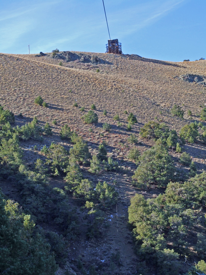
Caution (PLEASE READ): Climbing around on the tramway is dangerous because its really old and defnitely unsafe, so don't even think about it. Shoot, just getting to it requires some perilous hiking, and if you don't believe me, just take a look at the Zig Zag Access Trail (or what's left of it). Plus, climbing on it weakens it and endangers your life. Also, the Saline Valley Salt Tram is on the National Register of Historic Places and should be treated with the respect that it deserves. What little remains is of great historic value, and should not be disturbed in any way. Heck, its probably against the law to move parts of the tram around, and certainly a crime to take home some of the few bits of it that remain (though you'd have to ask your friendly local BLM agent for details). So please treat it with the respect it deserves, so that future generations can enjoy whats left, without you messing it up. Really. Please. You can see its listing on the National Register of Historic Places at these web links:
National Register of Historic Places 1 National Register of Historic Places 2
National Register of Historic Places 1 National Register of Historic Places 2
*****************************************************************
QUESTION 1: We finally got this story from Jim, and frankly, I'm not really understanding it, but it is documented here in case anyone can figure it out and explain it to us - thanks!
QUESTION 2: If we understand this technique correctly, it may not have worked at the forested sections of the Salt Tram pack trail (i.e., between the Summit Station and Control Station II), but may have been deployed coming up from the Salt Lake to Section I (Salt Lake to Control Station I) and Section II (Control Station I to Control Station II).
QUESTION 2: If we understand this technique correctly, it may not have worked at the forested sections of the Salt Tram pack trail (i.e., between the Summit Station and Control Station II), but may have been deployed coming up from the Salt Lake to Section I (Salt Lake to Control Station I) and Section II (Control Station I to Control Station II).
*****************************************************************
RIGHTS AND LEFTS
Okay, after talking with Norm, this is the way I understand the process: The packer has a string of mules. The mules are carrying long wooden beams. When the trail makes a switchback, say to the right, the packer stops the mule train. At either end of the beam [is] a pole or pipe, bolted to top the beam and hinged. The beam is swung into vertical position to hold the beam with auxilliary packers to help steady it. The mules are changed out below the supported beam. The "rights" are brought up and placed beneath the beam. The "right" mules then carry the beam to the right until the next switchback to the left. The process is then repeated with the "lefts" employed under the beam and so forth up [or down?] the switchbacks.
This story was told to Norm (a local cowboy), by his Uncle who as a young lad worked for his father/uncle packing the salt tram materials during the construction phase. I believe the packer with the contract was Pete or 'leaky' Olivas - somehow, all part of Norm's family! The mules were fitted with apparejo's in those days.
Hope this helps,


